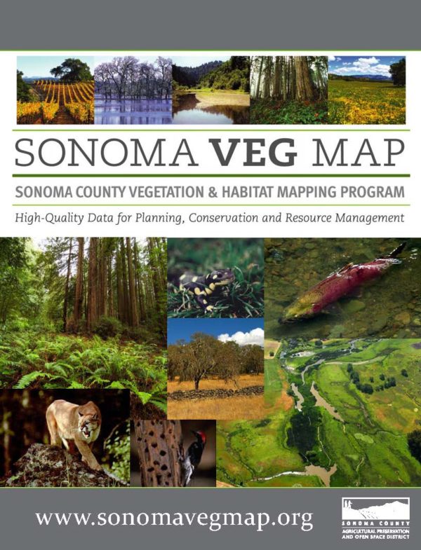

Mapping the Land to Conserve It
The Sonoma County Vegetation Mapping and LiDAR Program, or “Sonoma Veg Map” for short, is a 5-year program to map Sonoma County’s topography, physical and biotic features, diverse plant communities and habitats, and agriculture. It is a joint program of the Sonoma County Agricultural Preservation and Open Space District and the Sonoma County Water Agency. Contributing partners include the California Department of Fish and Wildlife, the United States Geological Survey, the County of Sonoma Information Systems Department, the County of Sonoma Transportation and Public Works Department, NASA, and others.
Now in its final year, the program has produced several ground-breaking environmental map products including countywide LiDAR data, 1-foot contours, orthophotography, stream centerlines, watershed boundaries, and vegetation and land cover maps. An 83-class fine-scale vegetation map was completed in May 2017 that includes high-level land cover detail for vegetation communities and agricultural land cover types, including forests, grasslands, riparian vegetation, wetlands, and croplands. All data products are freely available on the Sonoma Veg Map website.
The environmental data products from the Sonoma Veg Map are foundational and are used by many organizations and government departments for a wide range of purposes including planning and management for watershed protection, flood control, and fire and fuels management. The District uses the information to:
- Focus and prioritize its land conservation efforts toward healthy, connected wildlife habitats that filter our drinking water supply and improve air quality
- Save costs on piece-meal vegetation mapping and other environmental data collection for use in management plans, baselines, and other necessary reports and analyses related to acquiring and stewarding land and conservation easements
- Assess climate mitigation and adaptation strategies and benefits provided by the landscape, such as the amount of carbon sequestration in forests or the degree to which riparian areas, floodplains, and coastal habitats may buffer extreme weather events
- Track changes over time to Sonoma County’s habitats and natural resources as a result of human activity or conservation efforts