Ag + Open Space awarded $90,000 grant from NASA
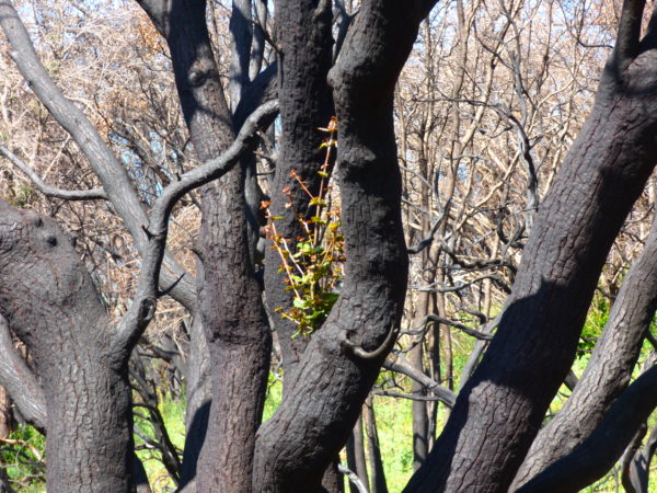
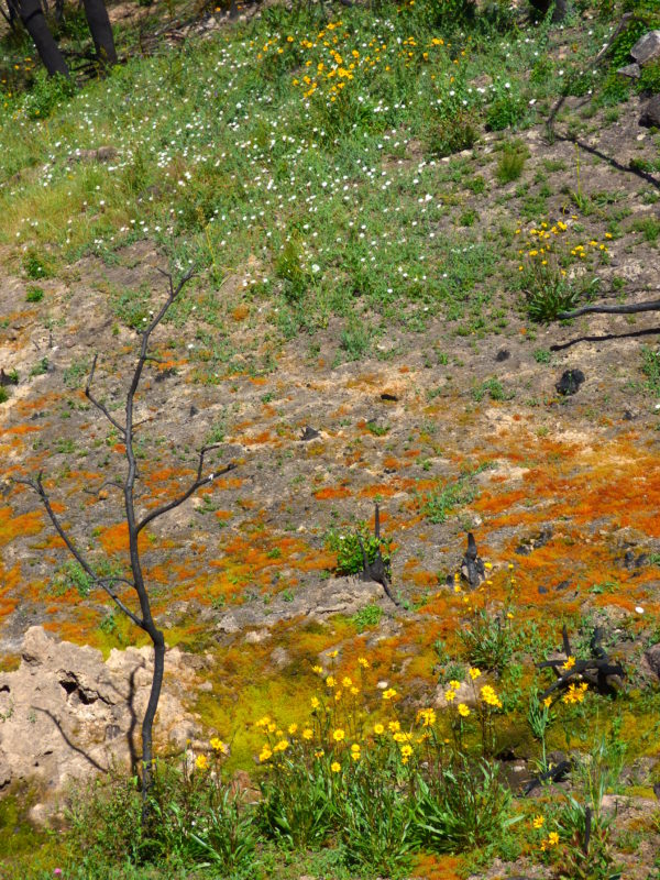
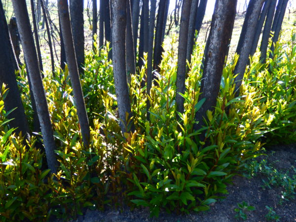
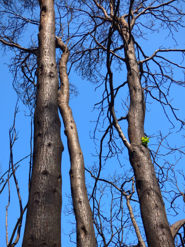
In March 2018, Ag + Open Space received a $90,000 grant from NASA as part of the Rapid Response and Novel Research in Earth Science Program. This grant funded the capture of aerial imagery of areas burned in the 2017 Sonoma Complex Fires, as well as a post-fire assessment of woody canopy damage. Aerial imagery was collected in June 2018 and is available to view online and for download. The aerial imagery was used to map the canopy damage of trees and tall shrubs, as well as to produce a 2017 Sonoma Complex Fires story map that takes a deeper dive into the Pocket, Tubbs, and Nuns fires.
The data and research findings funded by this grant will inform our own conservation actions, including vegetation management on properties that we own, as well as support long-term recovery and resiliency planning by the County and other local and state agencies.
The NASA Rapid Response grant additionally funded a survey to assess the value and use of LiDAR and vegetation data products developed through the Sonoma County Vegetation Mapping & LiDAR Program, for which Ag + Open Space plays a lead role. The survey includes specific questions about how data are being used for fire response and resiliency planning in addition to general questions about value and applications of individual data products. The results of this survey will support Ag + Open Space, our County partners, NASA, and others in demonstrating the value of high-resolution LiDAR, imagery, and vegetation products.
For more information, photos, and maps related to the 2017 Sonoma Complex Fires, visit our Sonoma County Vegetation Mapping & Lidar Program site at www.sonomavegmap.org.