Tracking real-time rain data on Ag + Open Space lands
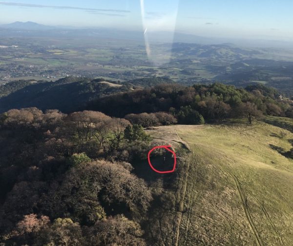
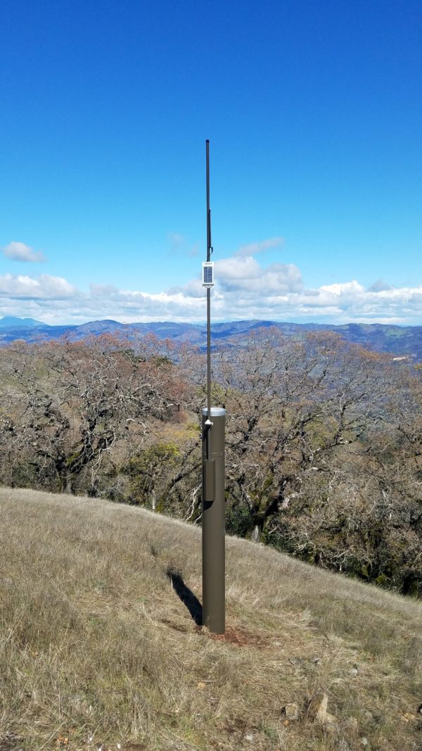
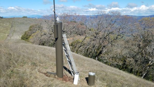
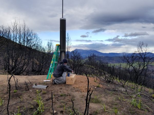
Given the increased risk of flash floods and debris flows resulting from last October’s wildfires, our partners at Sonoma County Water Agency sought the help of OneRain to implement an early flood warning system by more accurately tracking rainfall. Of the 22 rain and stream gages installed throughout the county, three are on properties protected by Ag + Open Space – McCullough, McCrea Trail Parcel, and Santa Angelina. The real-time rain data gathered from these gages will help officials forecast flooding in at-risk areas, as well as track long-term rainfall patterns in Sonoma County.
You can read more at the project here. The Sonoma.OneRain.com website also includes a user-friendly dashboard and map that provides real-time rainfall data at the 22 sites.
Here are a couple of photos:
McCullough
McCrea Trail Parcel